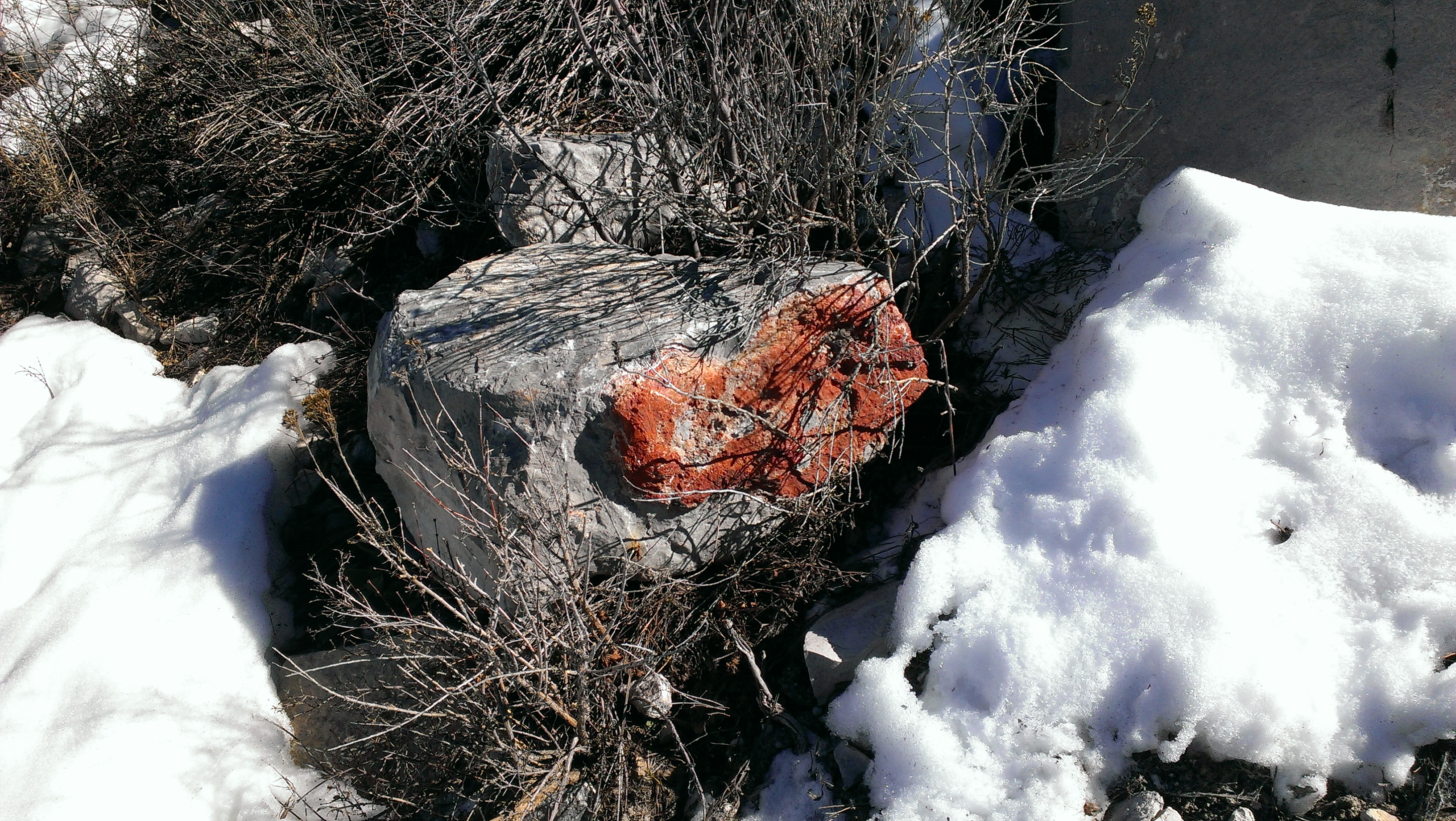
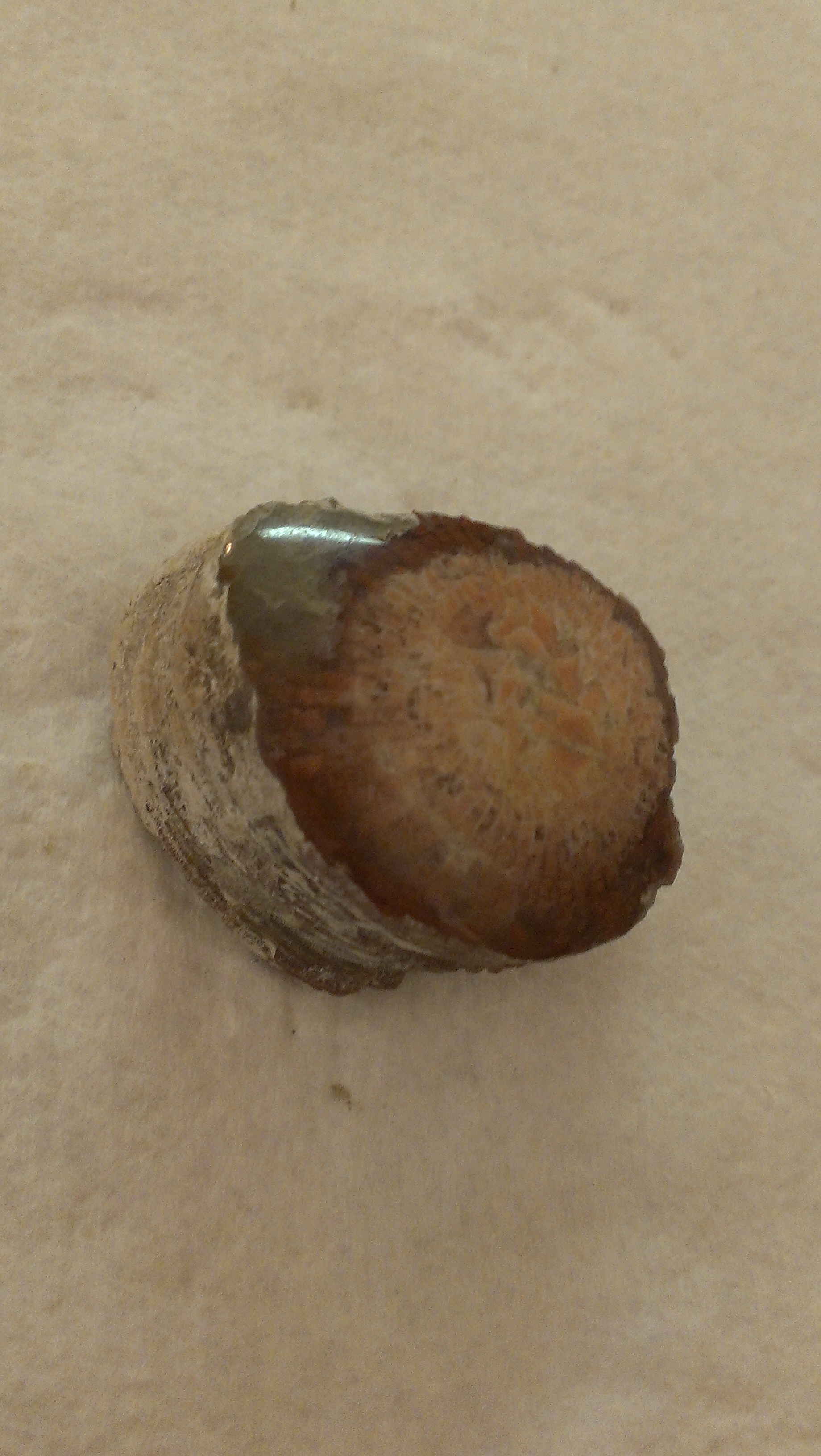
 The past few weekends Big J and I have had to keep the trips close to home since we had other stuff going on, but this should never be an excuse to not come back with awesome stuff 🙂 Our destination this time was in the Lake Mountains just west of Utah Lake and South of the town of Saratoga Springs. I had to be more specific in the title of this post since there are actually several different types of minerals and fossils at or near this location and we hope to return many times in the future and share with you all whatever we might find.
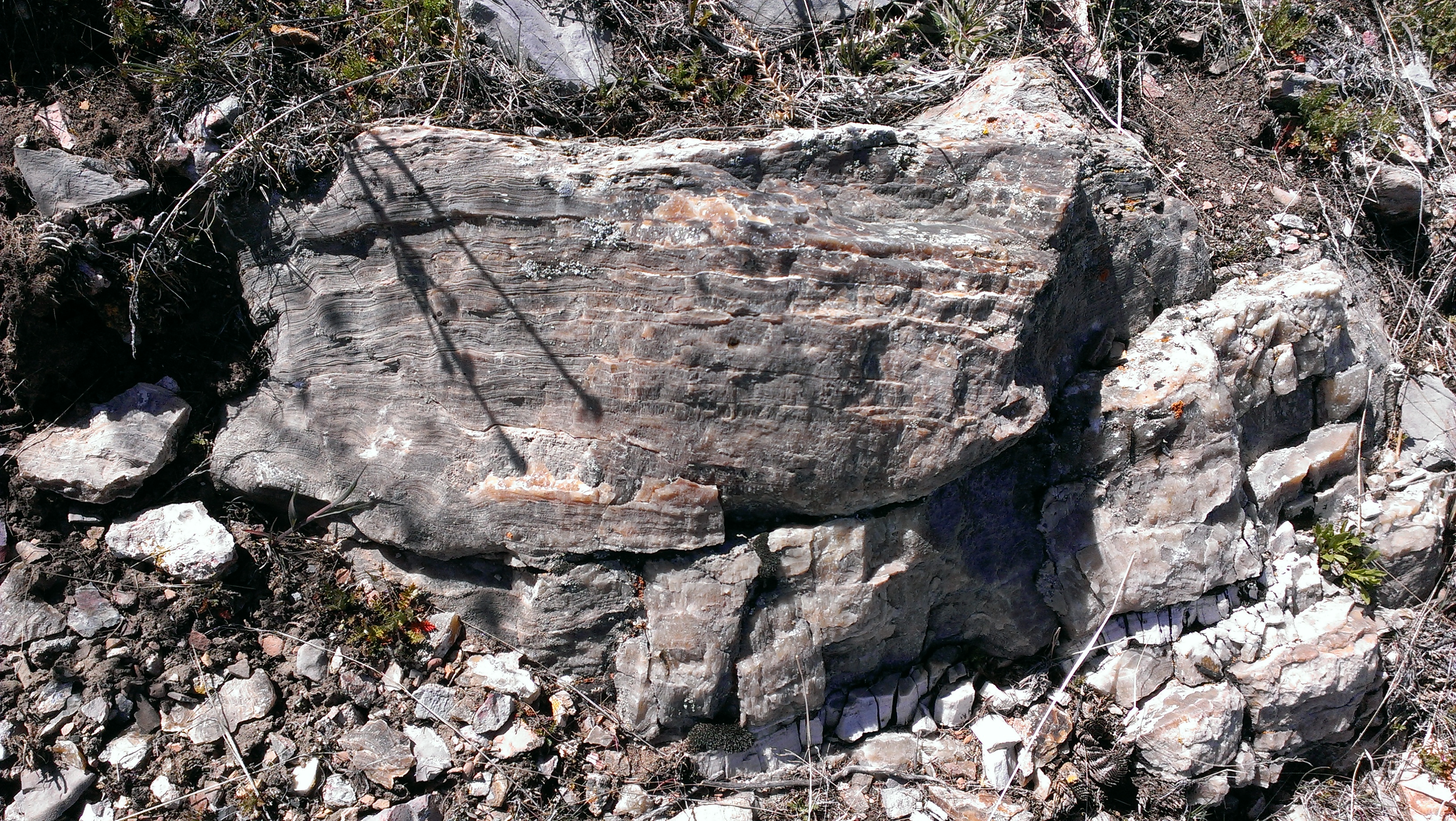
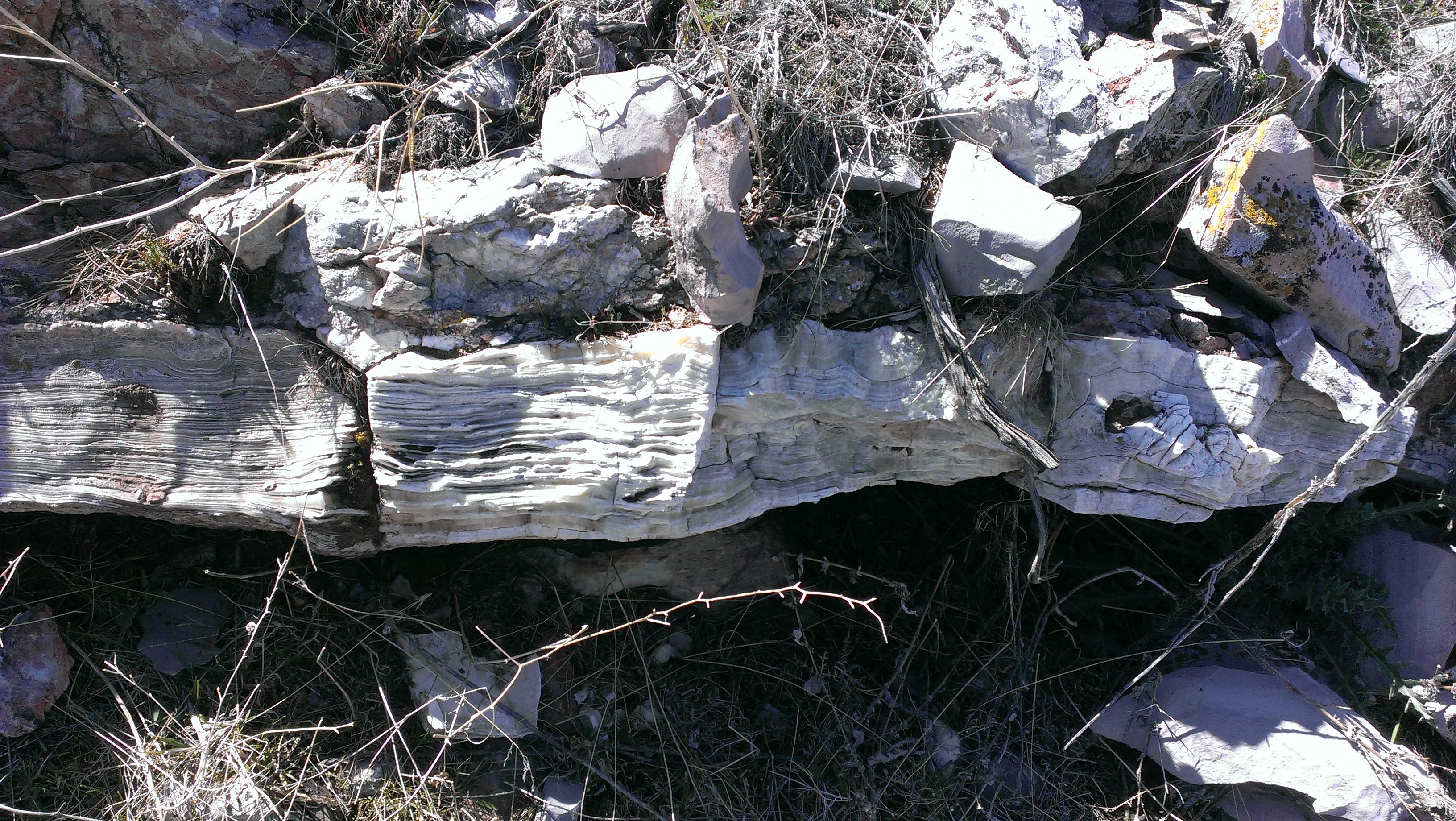
 Despite what we read about the location, you actually do not necessarily need a four wheel drive or high clearance vehicle. We ended up driving right up a super sketchy side road only to find that we had passed the dig entirely. If you look on the map on the locations page I placed the pin right on the dig we ended up going past and coming back to. The vein itself appeared to run vertically right up the mountain. Large parts of it had been exposed and, after a few sprays with the spray bottle, we immediately recognized the banding.
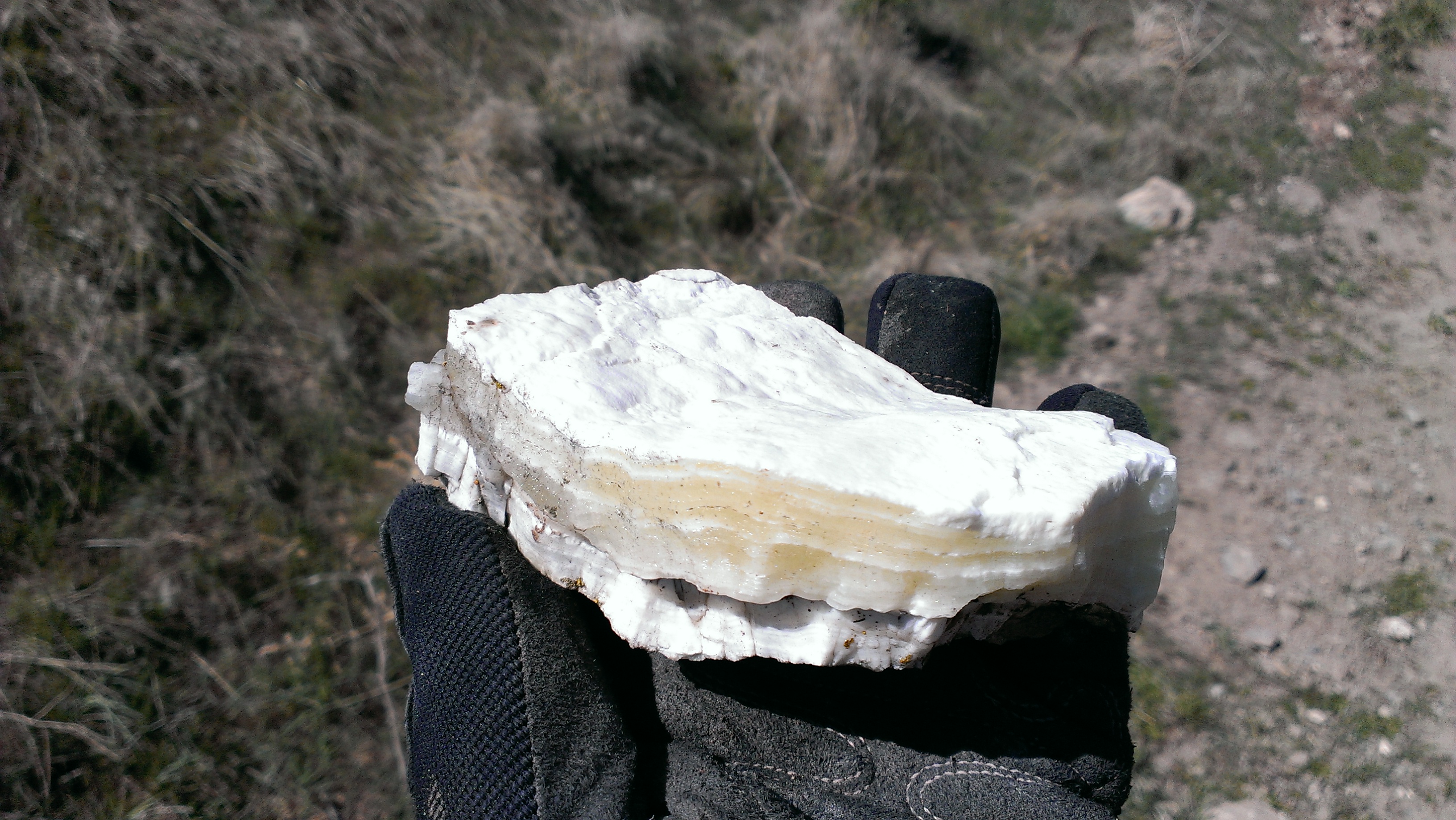
You can find pieces and chips of the material all over the ground, but I would HIGHLY recommend a shovel, a sledge, chisels, pry bars, a brush, a spray bottle, etc. for a little bit of heavy/dirty work to get the bigger pieces. We broke two chisels trying to get one of the larger pieces out. You would think this stuff would be pretty soft (and honestly some of the chucks did actually just break apart in our hands), but the stuff you really want to go after are those chunks that are super solid, heavy, and thick.
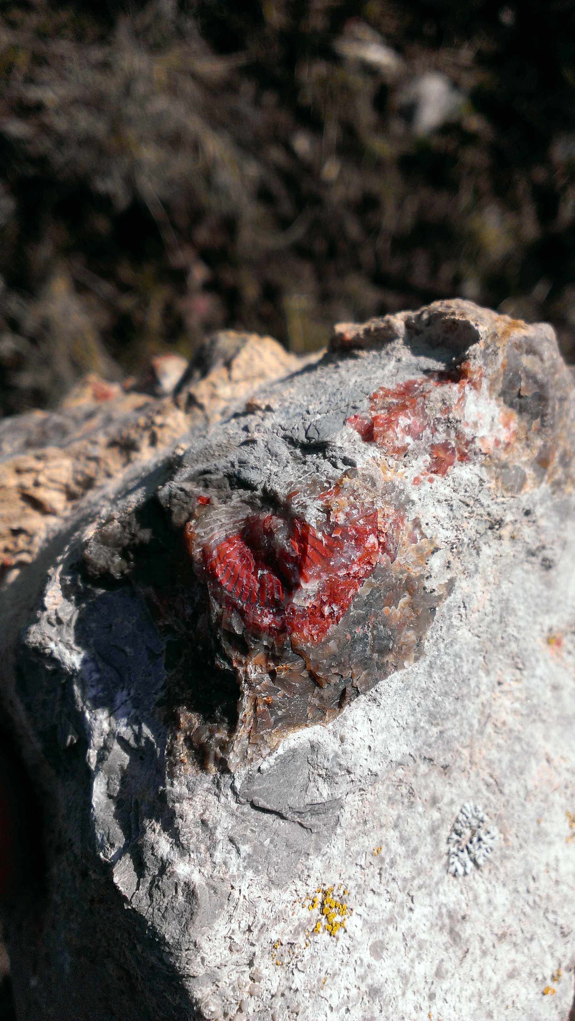
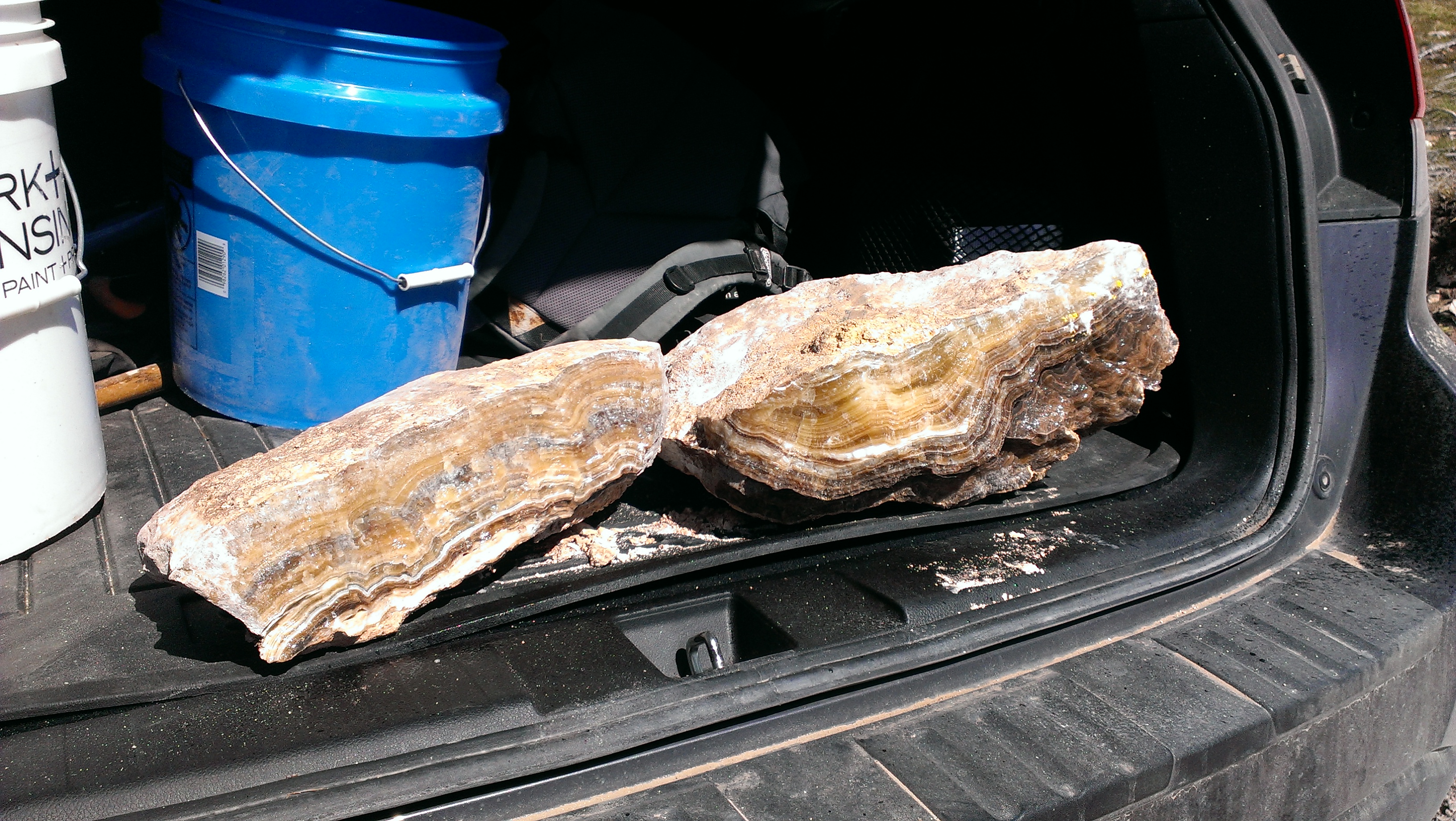 The colors ranged from a honey yellow all the way to the rootbeer dark brown. My favorite was the greenish semi-transparent stuff we found on the other side of the mountain. From what I understand, just about any cut or dig you come across in this area should have some type of calcite coming out of it and this proved to be true in our wanderings. At any rate, I hope that when you do go that you run into the same success we ended up having.
 Directions to Lake Mountains-Banded Calcite Onyx:
From the intersection of 800 North and I-15 in Orem, Utah
1. Drive North on I-15 toward Salt Lake City for 6.5 miles
2. Take exit 278 in American Fork and keep left (West) onto Pioneer Crossing (.4 miles)
3. Continue driving on Pioneer Crossing for another 5.3 miles
4. Turn left (South) onto Redwood Road and drive another 8.3 miles to the Dyno Nobel plant turnoff
5. Turn right (West) on the dirt road there (NOT the one into the Geneva gravel pit)
 6. Drive 2.76 miles on this main dirt road
(Not quite a half mile in the road splits in three and you’ll take the middle one that wraps around and to the left)
(Note: at about 1.4 miles the road runs right through a large quarry)
7. Turn left (Southwest) after the 2.76 miles for about 640 feet to a meeting of the roads
I’d recommend walking the last bit for step 8…
8. Turn left (East) on the road that goes up the hill (back toward Mt. Timp) for about another 500 feet and you’ll see the cut right there from the road
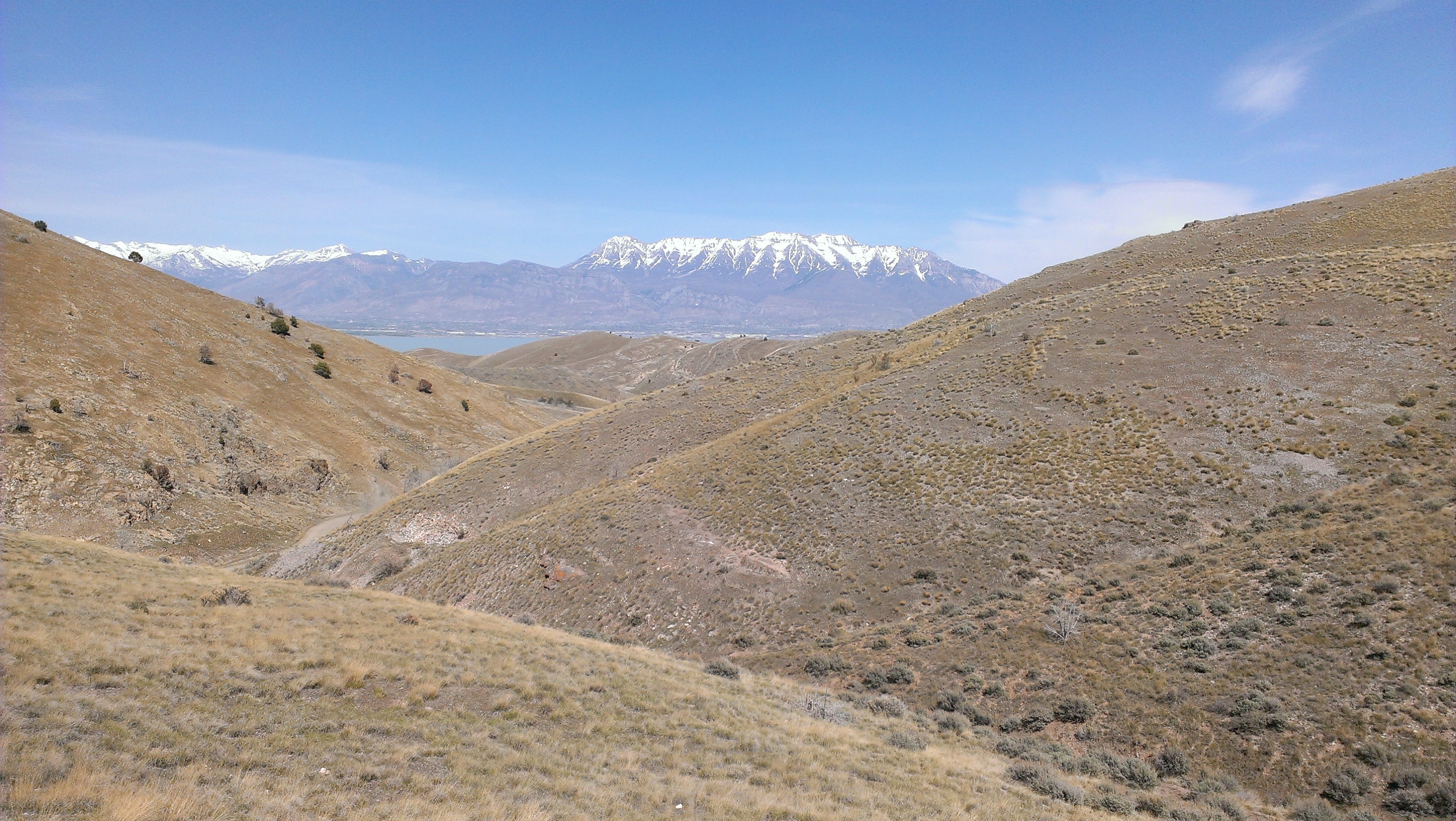
I should mention that this whole mountain was full of material (especially up and over the other side). When we were coming back down the main road, we parked at a little pullout where there was a for sale sign and saw digs and cuts all over the place. This is one of those areas where it definitely pays to explore.